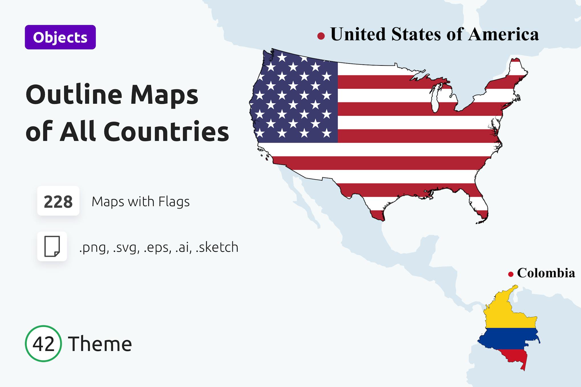
Discover the world in a whole new way with our comprehensive collection of outline maps and flags for all countries and continents! Perfect for educational purposes, presentations, or crafting personalized designs, this pack includes territory-shaped flags for all nations along with outline maps for each of the 228 countries worldwide. From the United States and Canada to Italy and beyond, you’ll have access to fully editable AI, EPS, SVG, SKETCH, and PNG file formats, allowing for easy customization and seamless integration into your projects.
Featuring a clean design and 100% scalable vector graphics, these maps and flags can be easily adjusted to suit your preferences without losing quality. The set includes 228 SVG, AI, EPS, and PNG files, as well as a SKETCH file and an info file for your convenience. Whether you’re exploring Abkhazia or Zimbabwe, each country’s outline map and flag are meticulously designed to provide a visually appealing and informative resource for your mapping needs. Dive into the diverse landscapes and cultures of the world with this extensive collection of outline maps and flags – the possibilities are endless!
Embark on a virtual journey across the globe with 228 outline maps and flags that showcase the unique features of each country, from Afghanistan to Zimbabwe. Designed with precision and attention to detail, this collection offers a convenient way to study geography or enhance your creative projects with accurate representations of national territories and emblems. With easy color customization options and seamless scalability, these vector files ensure a smooth and hassle-free experience as you explore the rich diversity of our planet. Whether you’re a student, designer, or enthusiast, these outline maps and flags will bring a touch of global flair to your work, allowing you to showcase the beauty and intricacies of countries near and far.
Sales Page